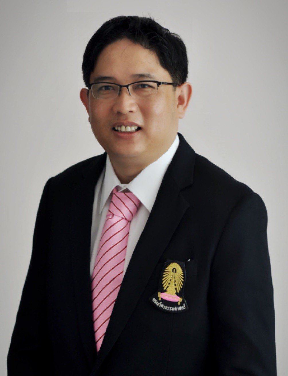
ธีทัต เจริญกาลัญญูตา
ภาพจากรายชื่อเดิมของศูนย์ฯ

การหาตำแหน่งด้วย GNSS และการรังวัดที่ดิน

รศ.ดร.ธีทัต เจริญกาลัญญูตา

นักวิจัยประจำศูนย์ฯ

ศึกษาการรังวัดด้วย GNSS เครือข่ายสถานีอ้างอิง และการรังวัดที่ดิน รวมถึงการประเมินความแม่นยำและเครื่องรับที่ชดเชยการเอียงในภาคสนาม

  • GNSS
  • Surveying
  • Positioning accuracy

โครงการ เครื่องมือ และการเรียนรู้

การหาตำแหน่งความละเอียดสูงด้วย GNSS ต้นทุนต่ำ2024 · การเรียนรู้และแหล่งข้อมูล ↗

ผลงานคัดสรร

งานวิจัยที่เผยแพร่ พร้อมสรุปโจทย์และวิธีการศึกษา

ดูผลงานคัดสรรทุกคน ↗

8 ผลงานคัดสรร

An Evaluation of the Accuracy of GNSS Receivers Integrated with MEMS-IMU Sensors for Optimal Angle Determination in Tilted Observation Scenarios Using the NRTK GNSS Technique in Thailand

Teetat Charoenkalunyuta; Chalermchon Satirapod; Koltouch Anantakarn; Thayathip Thongtan

Engineering Journal, 28(11), pp. 99–109

สรุปงานวิจัย

ทดสอบเครื่องรับ GNSS ที่ผสานเซนเซอร์เฉื่อยภายใต้มุมเอียงและสิ่งกีดขวางต่างกัน เพื่อประเมินความแม่นยำในการรังวัดแบบ NRTK

GNSS rover receivers’ horizontal positioning accuracy assessments based on NRTK-VRS surveying

Teetat Charoenkalunyuta; Chalermchon Satirapod; Namphon Saksanit; Thayathip Thongtan

Survey Review, 56(395), pp. 191–199

สรุปงานวิจัย

ประเมินความแม่นยำทางราบของเครื่องรับ GNSS สำหรับการรังวัดผ่านเครือข่าย RTK แบบสถานีอ้างอิงเสมือน โดยเกี่ยวข้องกับการรังวัดที่ดินในประเทศไทย

Applying synchrotron radiation-based attenuated total reflection-fourier transform infrared to chemically characterise organic functional groups in terrestrial soils of King George Island, Antarctica

Siwatt Pongpiachan; Kanjana Thumanu; Chulalak Chantharakhon; Chunmanus Phoomalee; Teetat Charoenkalunyuta; Kittiphop Promdee; Saran Poshyachinda; Muhammad Zaffar Hashmi

Heliyon, 9(9), e19711

สรุปงานวิจัย

ใช้สเปกโทรสโกปีอินฟราเรดร่วมกับแสงซินโครตรอนเพื่อศึกษาหมู่ฟังก์ชันอินทรีย์ในตัวอย่างดินจากเกาะคิงจอร์จ ทวีปแอนตาร์กติกา

Geometric and Statistical Assessments on Horizontal Positioning Accuracy in Relation with GNSS CORS Triangulations of NRTK Positioning Services in Thailand

Teetat Charoenkalunyuta; Chalermchon Satirapod; R. Charoenyot; Thayathip Thongtan

International Journal of Geoinformatics, 19(2), pp. 1–9

สรุปงานวิจัย

ประเมินความสัมพันธ์ระหว่างรูปทรงและระยะห่างของโครงข่ายสถานีอ้างอิงกับความแม่นยำทางราบของบริการ NRTK-VRS ในประเทศไทย

Latitudinal Transects and Quantitative Ecological Risk Assessments of Polycyclic Aromatic Hydrocarbons in Terrestrial Soils of Pakistan and King George Island, Antarctica

Siwatt Pongpiachan; Vanisa Surapipith; Muhammad Zaffar Hashmi; Muhammad Latif; Muhammad Sohail; Syed Ali Musstjab Akber Shah Eqani; Teetat Charoenkalunyuta; Kittiphop Promdee

Polycyclic Aromatic Compounds, 42(3), 771–790

สรุปงานวิจัย

ศึกษาสารพอลิไซคลิกอะโรมาติกไฮโดรคาร์บอนในดินจากปากีสถานและเกาะคิงจอร์จ พร้อมประเมินความเสี่ยงเชิงนิเวศ เผยแพร่ออนไลน์ปี 2020 และจัดลงฉบับวารสารปี 2022

Comparison of Ionosphere at Middle Latitude Zone during Solar Maximum and Solar Minimum

Tharapong Sukcharoen; Jingnong Weng; Teetat Charoenkalunyuta; Falin Wu

International Journal of Engineering and Technology, 9(3), pp. 262–268

สรุปงานวิจัย

ใช้ข้อมูล GPS เปรียบเทียบการเปลี่ยนแปลงปริมาณอิเล็กตรอนในชั้นไอโอโนสเฟียร์ช่วงกิจกรรมสุริยะสูงสุดและต่ำสุดที่สถานีละติจูดกลาง

Feasibility of DOL-VRS Service for Establishing Survey Control Using Post-Processing Method

Kitsanut Chanutboonsin; Constantin-Octavian Andrei; Kanok Weerawong; Teetat Charoenkalunyuta

Engineering Journal, 20(5), pp. 229–238

สรุปงานวิจัย

ประเมินระยะเวลาสังเกตการณ์และสภาวะไอโอโนสเฟียร์ในการใช้ข้อมูลสถานีอ้างอิงเสมือนของกรมที่ดินเพื่อสร้างหมุดควบคุมงานรังวัด

Effect of Thai Ionospheric Maps (THIM) model on the performance of network based RTK GPS in Thailand

Teetat Charoenkalunyuta; Chalermchon Satirapod

Survey Review, 46(334), pp. 1–6

สรุปงานวิจัย

ศึกษาการใช้แบบจำลองแผนที่ไอโอโนสเฟียร์ของไทยเพื่อปรับปรุงประสิทธิภาพเครือข่าย RTK GPS ในงานรังวัดที่ดิน

ผลงานคัดสรรอ้างอิงต้นฉบับ รวมงานจากต่างสถาบัน ไม่ได้หมายความว่าทุกรายการเป็นโครงการปัจจุบันของศูนย์ฯ

← พอร์ตนักวิจัยทั้งหมด