Theeraruk Maneenart
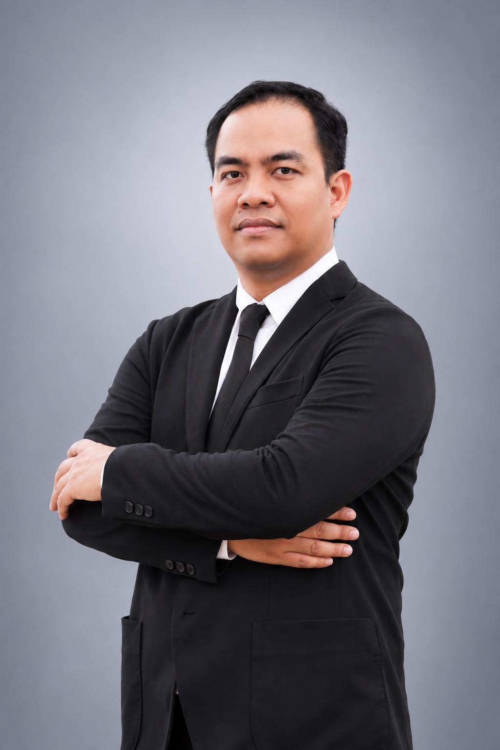
Researcher portrait

UAV mapping and photogrammetry

Theeraruk Maneenart

Center Researcher

Coauthored research develops quality-control workflows for UAV mapping and geometric models for multi-head aerial camera systems.

  • UAV mapping
  • Photogrammetry
  • Camera calibration

Selected work

Published research, with a short guide to the question and method.

Browse all selected works ↗

3 selected publications

Best Practice for Mapping Production from UAV Imagery

Thirawat Bannakulpiphat; Phisan Santitamnont; Theeraruk Maneenart; Weerachai Wongweeranimit

Engineering Journal of Research and Development, 34(1), 25–46

Research focus

Investigates processing and quality assessment for UAV mapping using imagery acquired over the Chulalongkorn UAV test field.

Road Construction Quality Indicators Based on Pavement Roughness

Theeraruk Maneenart; Wisanu Subsompon

7th National Transport Conference, Bangkok, 15 October 2010 · University bibliography record

Research focus

Conference research on road construction quality indicators derived from pavement roughness. Listed in the coauthor’s Chulalongkorn University bibliography; full proceedings text has not been verified.

Selected research outputs follow the original sources, including work at different institutions. Not every item is a current center project.

← All researcher portfolios