

Explore CE in 3D
Follow a simulated city journey from street level to a drone’s-eye view and orbit. Discover the center along the way.
Interactive example · Survey City Journey
Explore in 3DExplore research repositories, setup instructions and engineering tools. GitHub links lead to code you can run yourself; external browser services are identified separately.
Follow a simulated city journey from street level to a drone’s-eye view and orbit. Discover the center along the way.
Interactive example · Survey City Journey
Explore in 3D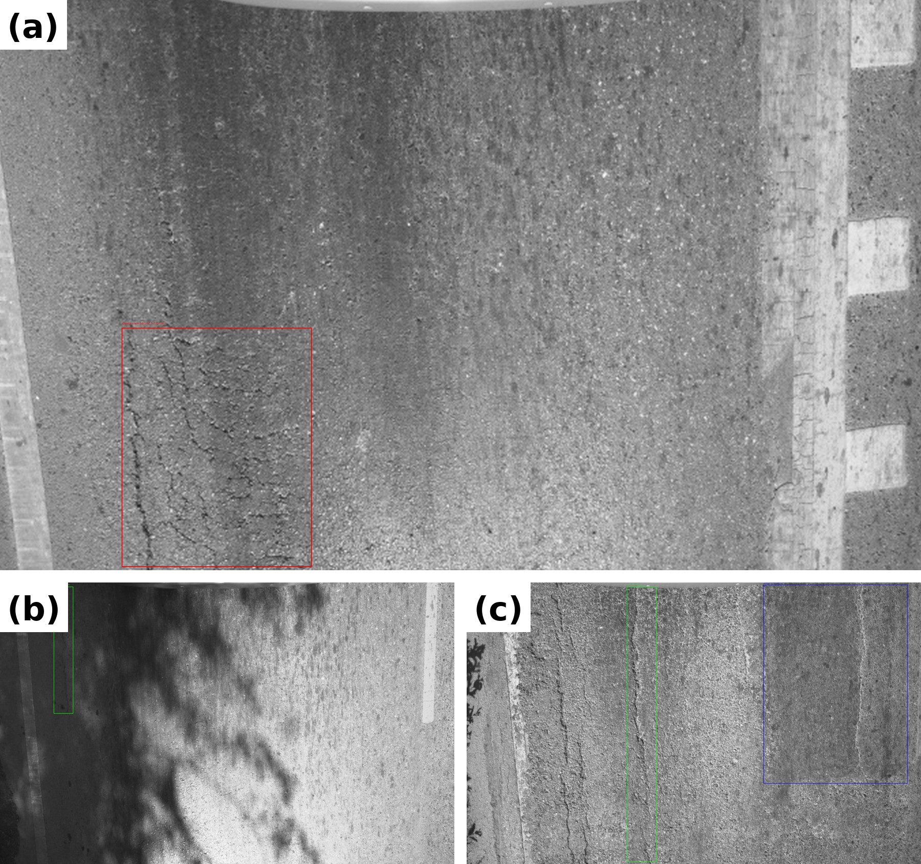
Research code · GitHub · 2026
Road-damage detection code for alligator cracking, linear cracks and patching. The authors’ repository includes installation and model training instructions.
Repository maintained by Sompote, linked to research coauthored by Pawarotorn Chaipetch. Run locally following the repository instructions; this is not a browser demo hosted by the center.
Research code · GitHub · 2024
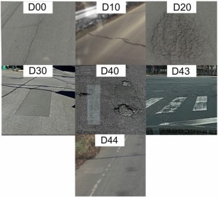
A lightweight pavement-damage detector with attention mechanisms. Explore the authors’ training and inference code and setup instructions.
Repository maintained by Sompote, linked to research coauthored by Pawarotorn Chaipetch. Run locally following the repository instructions; this is not a browser demo hosted by the center.
Paper implementation · MIT · 2025
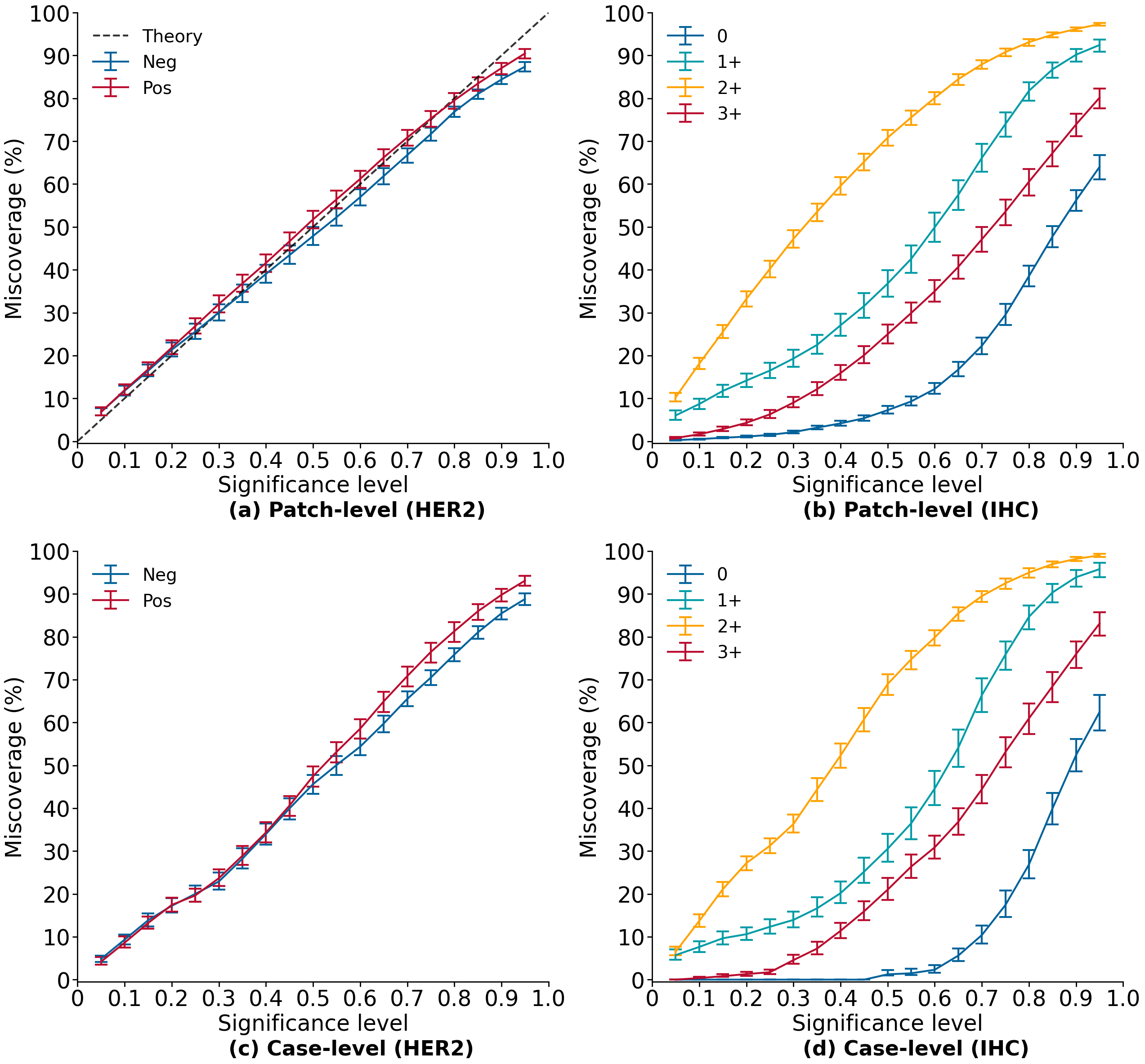
Feature extraction, classifier training and analysis notebooks for HER2 classification in a medical-imaging collaboration coauthored by Thanarat Chalidabhongse.

Research translation · External service · 2022
Chulalongkorn documents ReadMe’s development by Thanarat Chalidabhongse and colleagues and commercialization through Eikonnex AI.
The university story dates to 2022. Service access and terms are set by its provider.
Python + external browser tool
Projection-design examples from Phisan Santitamnont, with an author-linked converter for multiple coordinate systems.
Phisan Santitamnont
Externally hosted. Numerical results have not been independently validated here.
Public Python code
Tools for traverse adjustment, setting-out, geodetic networks and route geometry, with documented examples.
Phisan Santitamnont
A repository-wide reuse licence was not identified; consult the author before redistribution.
Geospatial scripts · GPL-3.0
Scripts for elevation-data preparation, regional analysis, exposure summaries and mapping across six Andaman provinces.
Phisan Santitamnont
An analysis resource, not an operational warning service.
Research scripts · GNSS / PPK
GNSS processing examples associated with Phisan Santitamnont’s UAV mapping work, including antenna-to-camera offset processing.
Phisan Santitamnont
Sources checked 8 September 2026. Dates refer to the cited releases, records or activities. Work belongs to the named researchers and organisations; current center project ownership is not inferred.
Meet the researchers ↗